The pins on this map represent trip location data from trip reports. Click on a pin to read the trip report or to be directed to Google maps for directions to the trailhead. This information is provided for informational purposes only. Trailhead conditions and access may have changed since the trip report was uploaded. Conducting your own research is strongly recommended before you head out on your adventure. Planning and preparation start with the 10 essentials and staying up-to-date on road and trail conditions, permit requirements, party size limits, snowpack, wildfires, and weather.
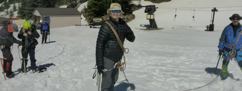


I-MAC enjoys providing the community with opportunities to come together with other outdoor enthusiasts to learn and share. The Reel Rock Film Fest is one such event. This annual event showcases a set of spectacular films about rock climbing (Think Free Solo, only shorter). REI and local climbing clubs toss prizes into the crowd during the intermissions. Proceeds from the event go to worthy organizations selected by the I-MAC Board.
We also host guest speakers from outside the area to provide presentations on mountain climbs, ski tours, hiking and other backcountry adventures. I-MAC members also provide presentations on a variety of topics from epic club hikes to conservation.
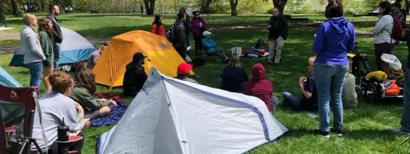
Are you interested in learning how to backpack? If yes, then the I-MAC Backpacking School is for you. This free two-day class is offered nearly every year. A combination of indoor and outdoor classes teaches you what you need to know to start backpacking on your own.
The purpose of the backpacking school is to prepare participants for comfortable and safe multi-day backpacking trips. No prior experience in the outdoors is required. Each topic is taught by an I-MAC member with years of experience.
Topics include:
· The ten essentials
· Training for a backpacking trip
· Gear (e.g., tents, sleep systems, water filters, stoves, backpacks)
· Nutrition and cooking
· Water purification
· Route planning
· Navigation including map & compass and digital navigation
The first day consists of lecture-style presentations. The second day includes outdoor field demonstrations of equipment and techniques at a local park. The school culminates in overnight backpacking trips led by I-MAC trip leaders.
Before the course, we recommend you get the book The Backpacker’s Field Manual, by Rick Curtis, and read as much as you can (it is not available through REI). We also recommend that you join I-MAC before the school. Membership will get you access to more information about our trips, both before and after, and about our community.
The school is free and open to the public.
Registration is required.
For inquires, please email to backpacking@imacnw.org.
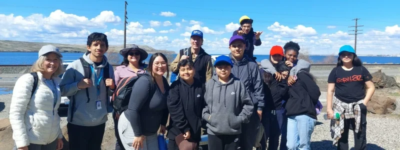
I-MAC partners with local community organizations to teach youth outdoor skills and provide outdoor experiences, such as hiking. I-MAC has partnered with Boys and Girls Club of Benton and Franklin Countries as well as Girls Scouts of Eastern Washington & Northern Idaho.
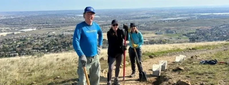
I-MAC focuses most of their trail work volunteer time on local trails, specifically Badger and Candy Mountains. These trails are used by 300,000 people every year. The trail work is led by I-MAC’s Jim Langdon, who is the FRIENDS OF BADGER MOUNTAIN TRAILMASTER.
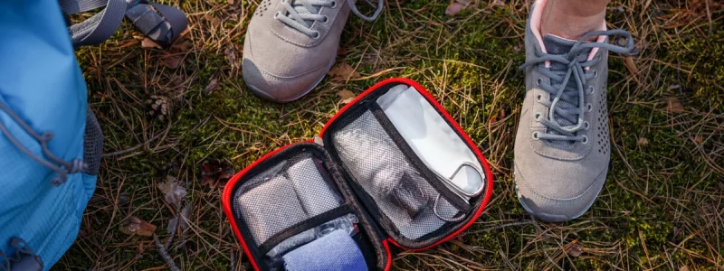
I-MAC hosts Wilderness First Aid classes, provided by outside agencies, on a semi-regular basis. The most recent class was presented by Longleaf Wilderness Medicine and was held at Columbia Basin College, using both indoor and outdoor spaces. Instruction includes both lecture and hands-on practice. Classes are open to the public and I-MAC members can register before the public.
Trip participants are expected to pay drivers a fee to help cover the cost of fuel and vehicle usage. The per milage rate is occasionally adjusted to reflect the general cost of fuel. We want drivers to feel comfortable that their costs are covered, but we would also never want the cost of carpooling to prevent someone from going on a trip. We aim to keep the rate at an acceptable compromise for everyone.
The current mileage rate of $0.12 per mile was voted on by the I-MAC board in April 2023.
On the first day of the trip, be prepared to pay your driver in cash for the amount noted in the trip cost section of the trip description. Checks are not accepted. Some drivers may accept Venmo or other cash apps. Check with the driver prior to the trip if you would like to pay with a cash app.
PASSES FOR PUBLIC LANDS
We are fortunate to have easy access to city, county, state, and federal public lands. Some of these parks and forest are free while other charge fees. Depending on who manages the land, the required fee or pass is different. Below is information about the three primary passes you’ll need to enjoy federal and state public lands in the Pacific Northwest.
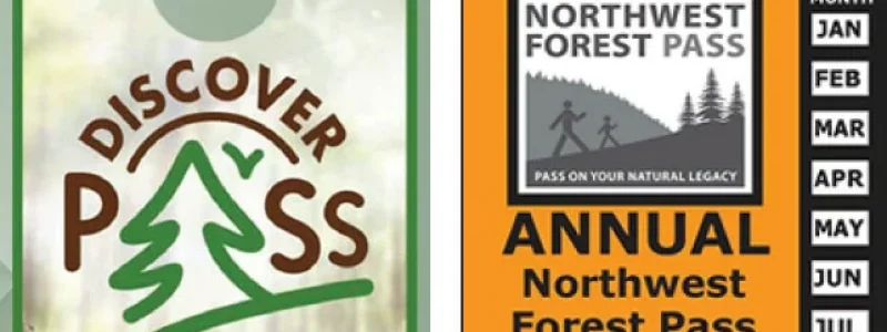
Annual Washington State Parks Discover Pass
Discover Pass is a permit that gives you access to state parks and recreation lands in Washington.
Annual Northwest Forest Pass
The Annual Northwest Forest Pass is honored at all US Forest Service operated recreation sites in Washington and Oregon where a day use fee is required.
America the Beautiful Federal Recreation Lands Passes
There are several different America the Beautiful passes to choose from depending on certain criteria. All the passes cover entrance fees at national parks and national wildlife refuges as well as standard amenity fees (day use fees) at national forests and grasslands, and at lands managed by the Bureau of Land Management, Bureau of Reclamation and US Army Corps of Engineers.
Locally, many of these passes can be purchased at REI. All of the America the Beautiful passes are available at the McNary National Wildlife Refuge office at 64 Maple Street in Burbank. All above-listed passes are also available for purchase online.
1 – Easy
Less than 6 miles and less than 1,000-ft elevation gain per day
2 – Moderate
6 to 10 miles or 1,000 to 2,000-ft elevation gain per day.
3 – Strenuous
10 to 12 miles or 2,000 to 3,000-ft elevation gain per day
4 – Very Strenuous
More than 12 miles or more than 3,000-ft elevation per day.
0 – Class
No experience needed. This is a training class.
1 – Easy
Minimum experience needed, ample opportunity for instruction.
2 – Moderate
Moderate experience needed, still a good opportunity for instruction.
3 – Strenuous
Advanced levels of experience needed, little opportunity for instruction.
4 – Very Strenuous
Must be entirely self-sufficient, no instruction provided.
0 – Class
No skills needed. This is a training class.
1 – Easy
Less than 5 miles and less than 500 ft elevation gain.
2 – Moderate
5 to 8 miles or 500 ft to 1,500 ft elevation gain.
3 – Strenuous
More than 8 miles or more than 1,500 ft elevation gain.
4 – Very Strenuous
Usually requires great effort, could include overnight outings requiring full packs.
0 – Class
No skills needed. This is a training class.
1 – Easy
Less than 6 miles and less than 500 ft elevation gain. Minimal stopping and turning skills necessary.
2 – Moderate
6 to 11 miles or 500 feet to 1,500 ft elevation gain. Stopping and turning skills are important.
3 – Strenuous
More than 11 miles, or greater than 1,500 ft elevation gain. Stopping and turning skills a must.
4 – Very Strenuous
Usually requires great effort and advanced skills. This could include overnight outings requiring full packs.
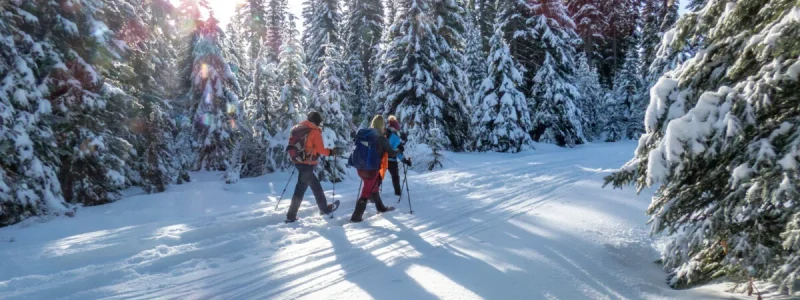
Check out the I-MAC ACTIVITY CALENDAR for upcoming trips. If you are interested in joining an I-MAC adventure, review the ACTIVITY CLASSIFICATION and TRIP COSTS & PASSES pages before you sign up to ensure the trip is right for you.
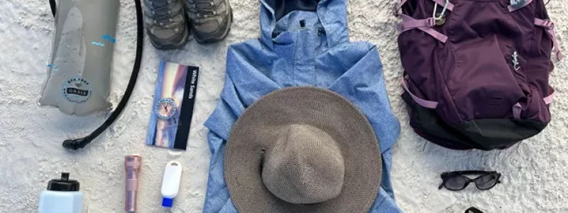
Each participant is responsible for their own safety and being prepared. Planning and preparation start with the 10 ESSENTIALS and staying up-to-date on road and trail conditions, permit requirements, party size limits, snowpack, wildfires, and weather.
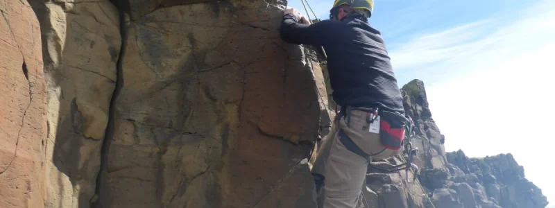
Each participant is responsible for their own safety and being prepared. Planning and preparation start with the 10 ESSENTIALS and staying up-to-date on road and trail conditions, permit requirements, party size limits, snowpack, wildfires, and weather.
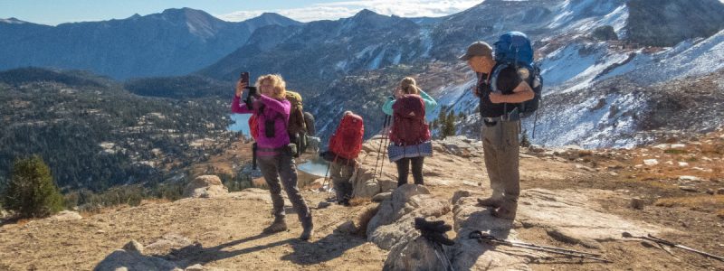
Are you looking to extend your outdoor adventure beyond day hikes? Backpacking is similar to hiking except that you bring all your gear with you including food, clothing, sleeping pad and bag, tent, and other personal items. Backpacking requires physical conditioning to ensure you have the stamina to carry the extra weight and be on the move for multiple days in a row. It is also important to have knowledge of map reading, Leave No Trace Principles, and and basic outdoor skills.
I-MAC members lead backpacking trips from easy overnight trips to challenging multi-day adventures even in the winter! Backpacking is a wonderful way to explore hard to reach locations and get off grid for a while.
I-IMAC offers a backpacking school once a year, which is a combination of indoor and outdoor classes designed to teach you what you need to know to get started on your own backpacking adventure. About once a year, I-MAC sponsors a Wilderness First Aid Class for members. The information learned in these classes can help save a life when out in the backcountry.
Check out the I-MAC activity calendar for upcoming trips. If you are interested in joining an I-MAC adventure, review the Activity Classification and Trip Costs & Passes pages before you sign up to ensure the trip is right for you.
Each participant is responsible for their own safety and being prepared. Planning and preparation start with the 10 essentials and staying up-to-date on road and trail conditions, permit requirements, party size limits, snowpack, wildfires, and weather.
Learn More