Umatilla Rim Loop (DH-2)
| Trip Name | Umatilla Rim Loop (DH-2) |
|---|---|
| Trip Start Date | June 15, 2024 |
| Type of Trip | Day Hike |
| Rating | DH-2 |
| Leader Name | George Meriwether |
| Leader Email | george@ghmworld.net |
| Roundtrip Drive Mileage | 184 miles |
| Carpooling Cost | $22 |
| Additional Fees | None |
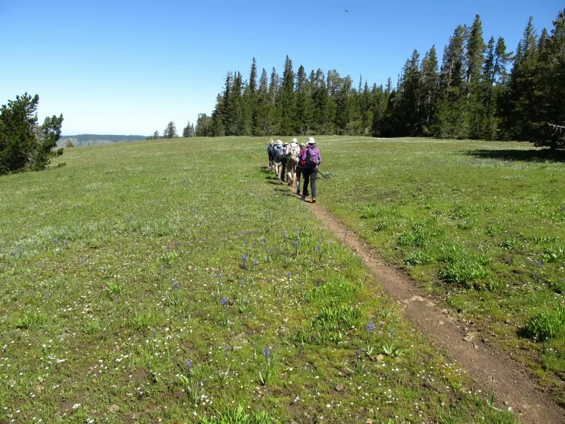
| Trip Description | This is a scenic loop hike west of the Horseshoe Prairie area in the Oregon Blue Mountains. The hike is about 7 miles long with about 600-700 feet total elevation gain. We will start at the Nine Mile TH (no passes are required). We will head north on the Umatilla Rim trail from the trailhead. After about 3 miles or so, we will take a series of Forest Service roads and a trail that will loop back to the Umatilla Rim trail at the Shamrock Spring. Then, we will head back to the trailhead. We will hike at a moderate pace (1.5-2 mph). Bring at least 2 liters of water and be prepared for changing weather conditions.
The trip will be limited to 12 people. The leader will vet all participants. The trailhead coordinates are: 45.695595990097836, -118.08438314742973 . |
| Approximate Mileage | 7 miles round trip |
| Elevation Gain | 600-700 feet |
Each participant is responsible for their own safety and being prepared. PLANNING and preparation start with the 10 ESSENTIALS and staying up-to-date on road and trail conditions, permit requirements, party size limits, snowpack, wildfires, and weather.
Visit the ACTIVITY CLASSIFICATION PAGE for detailed information on difficulty rating for I-MAC trip so you can sign up for activities that best match your fitness and comfort levels.
Visit TRIP COSTS & PASSES for detailed information about trip costs.
To help protect and care for these special places that we enjoy exploring, I-MAC members always practice LEAVE NO TRACE and follow the 7 PRINCIPLES OF LEAVE NO TRACE. Ask your trip leader if you have questions about Leave No Trace or suggestions for helping to reduce our footprint.